- Joined
- Sep 17, 2008
- Messages
- 9,414
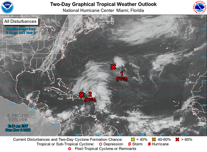
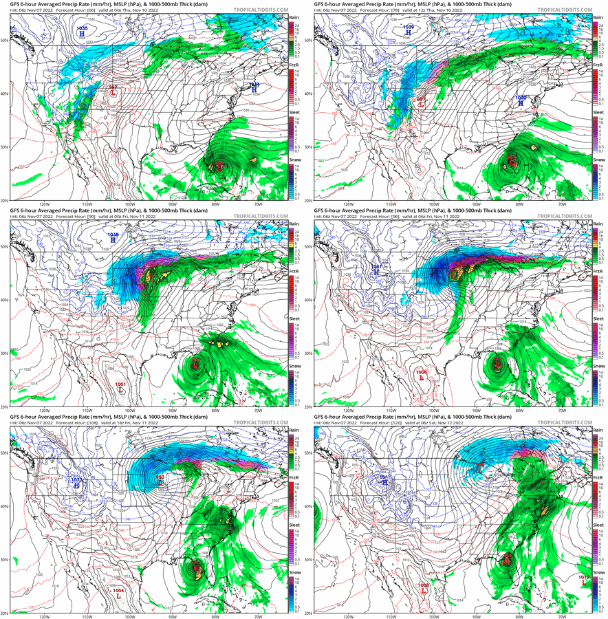
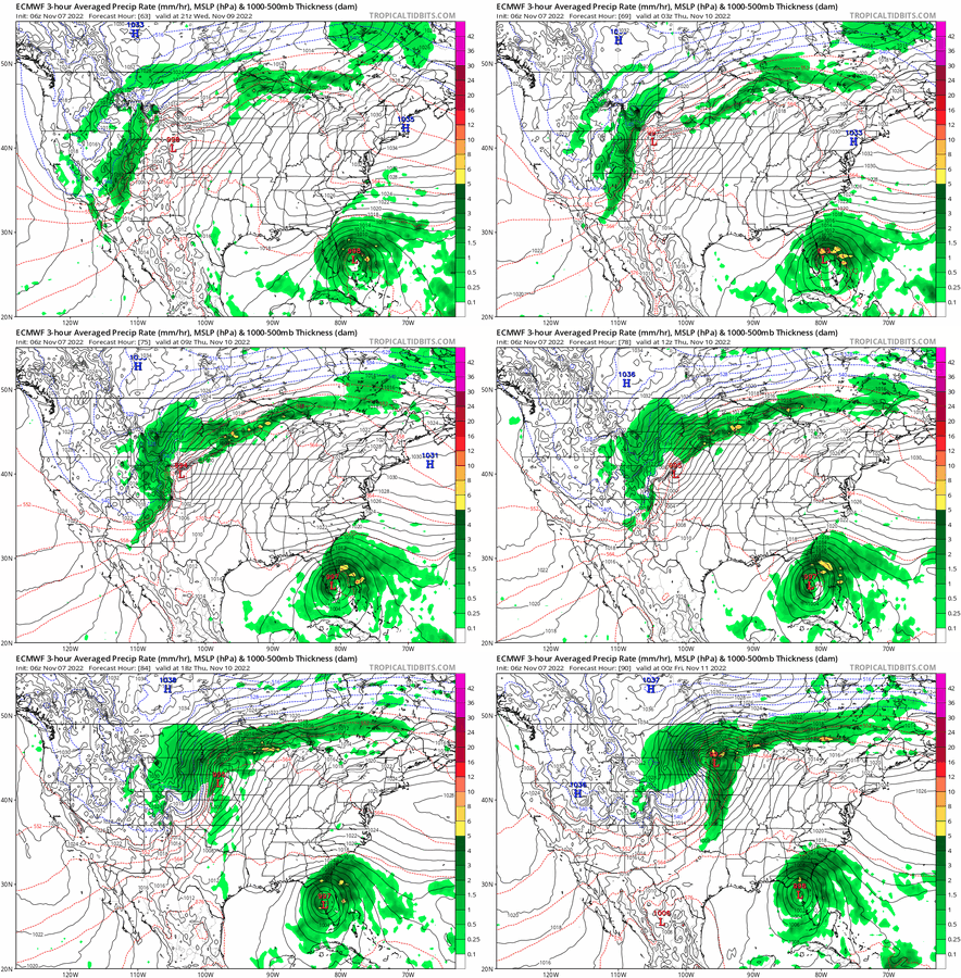
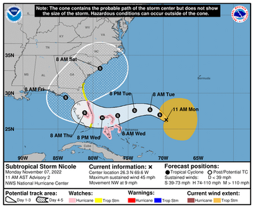
I waited to post this one because nothing official was posted yet..but there is now!
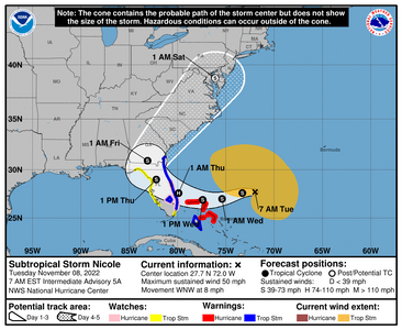
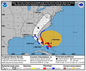
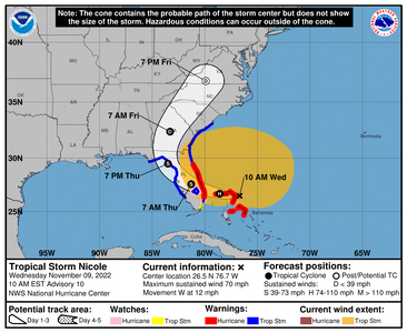
2. Southwestern Atlantic:
An area of low pressure is developing about 100 miles north of
Puerto Rico and is producing a large area of disorganized showers
and thunderstorms. This system is forecast to move northward or
northwestward further into the southwestern Atlantic today and
environmental conditions appear generally conducive for additional
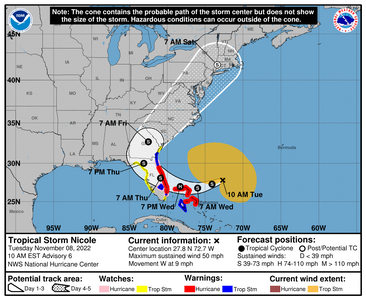
development. A subtropical or tropical depression is likely to form
early this week while the system turns westward or
west-southwestward over the southwestern Atlantic. Regardless of
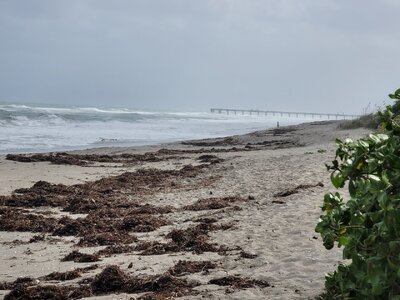
development, there is an increasing risk of coastal flooding,
gale-force winds, heavy rainfall, rough surf, and beach erosion
along much of the southeastern United States coast, the Florida east
coast, and portions of the central and northwestern Bahamas during
the early to middle part of this week. Interests in those areas
should continue to monitor the progress of this system.
* Formation chance through 48 hours...high...70 percent.
* Formation chance through 5 days...high...90 percent.
High Seas Forecasts issued by the National Weather Service
can be found under AWIPS header NFDHSFAT1, WMO header FZNT01
KWBC, and online at ocean.weather.gov/shtml/NFDHSFAT1.php
Forecaster Papin




300x240.png)